Council Housing - Colliery Road
Introduction
The photograph on this page of Council Housing - Colliery Road by John M as part of the Geograph project.
The Geograph project started in 2005 with the aim of publishing, organising and preserving representative images for every square kilometre of Great Britain, Ireland and the Isle of Man.

There are currently over 7.5m images from over 14,400 individuals and you can help contribute to the project by visiting https://www.geograph.org.uk
Council Housing - Colliery Road
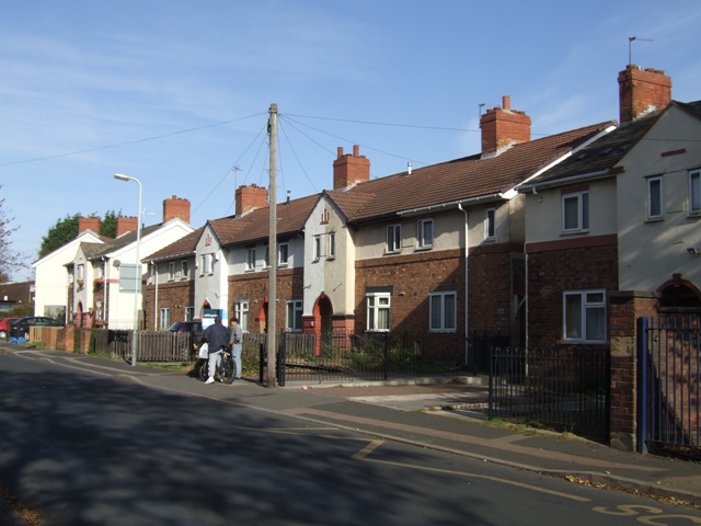
Image: © John M Taken: 30 Oct 2010
The Old Heath Estate was built on the former Old Heath Colliery site in the early 1920s.
Images are licensed for reuse under creativecommons.org/licenses/by-sa/2.0
Image Location
Latitude
52.584259
Longitude
-2.106812