Council Housing - Parkfield Road/Thompson Avenue
Introduction
The photograph on this page of Council Housing - Parkfield Road/Thompson Avenue by John M as part of the Geograph project.
The Geograph project started in 2005 with the aim of publishing, organising and preserving representative images for every square kilometre of Great Britain, Ireland and the Isle of Man.

There are currently over 7.5m images from over 14,400 individuals and you can help contribute to the project by visiting https://www.geograph.org.uk
Council Housing - Parkfield Road/Thompson Avenue
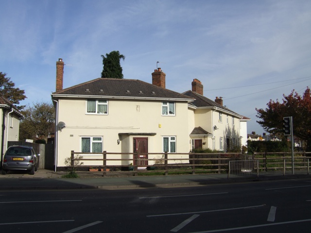
Image: © John M Taken: 30 Oct 2010
Linked properties on the corner of Parkfield Road and Thompson Avenue. The date plaque and coat of arms shows the building was constructed in 1920. This marks the start of the major council house building programme which followed the Great War. The Parkfield Estate was built on the former Parkfield Colliery.
Images are licensed for reuse under creativecommons.org/licenses/by-sa/2.0
Image Location
Latitude
52.567169
Longitude
-2.117393