View NNE near Lynch Coppice
Introduction
The photograph on this page of View NNE near Lynch Coppice by David P Howard as part of the Geograph project.
The Geograph project started in 2005 with the aim of publishing, organising and preserving representative images for every square kilometre of Great Britain, Ireland and the Isle of Man.

There are currently over 7.5m images from over 14,400 individuals and you can help contribute to the project by visiting https://www.geograph.org.uk
View NNE near Lynch Coppice
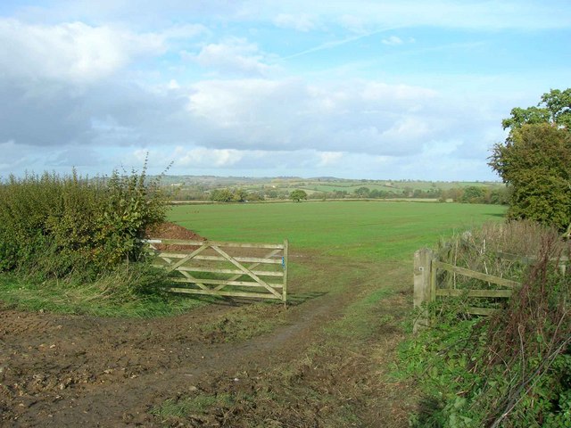
Image: © David P Howard Taken: 27 Oct 2010
Looking NNE from the lane that runs from Draycott towards Batsford.
Images are licensed for reuse under creativecommons.org/licenses/by-sa/2.0
Image Location
Latitude
52.016726
Longitude
-1.734752