Spettisbury Rings trig point
Introduction
The photograph on this page of Spettisbury Rings trig point by michael ely as part of the Geograph project.
The Geograph project started in 2005 with the aim of publishing, organising and preserving representative images for every square kilometre of Great Britain, Ireland and the Isle of Man.

There are currently over 7.5m images from over 14,400 individuals and you can help contribute to the project by visiting https://www.geograph.org.uk
Spettisbury Rings trig point
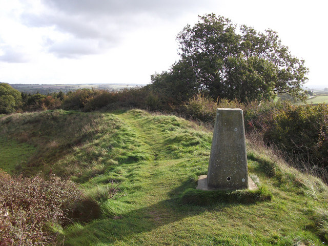
Image: © michael ely Taken: 27 Oct 2010
Sits on the ramparts of this ancient hill fort 81 metres above sea level.
Images are licensed for reuse under creativecommons.org/licenses/by-sa/2.0
Image Location


Leaflet Map data © OpenStreetMap
Latitude
50.816492
Longitude
-2.122592