Lane south of Treadam
Introduction
The photograph on this page of Lane south of Treadam by Trevor Rickard as part of the Geograph project.
The Geograph project started in 2005 with the aim of publishing, organising and preserving representative images for every square kilometre of Great Britain, Ireland and the Isle of Man.

There are currently over 7.5m images from over 14,400 individuals and you can help contribute to the project by visiting https://www.geograph.org.uk
Lane south of Treadam
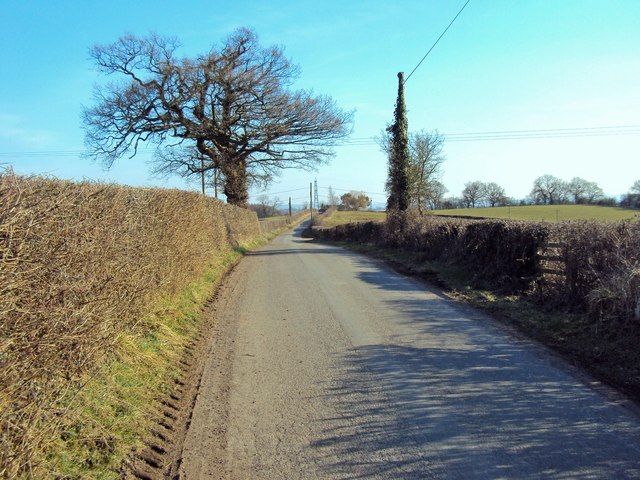
Image: © Trevor Rickard Taken: 5 Mar 2010
Heading south-east along the top of a small hill before dipping down into Beiliau. Public footpath stile on the right.
Images are licensed for reuse under creativecommons.org/licenses/by-sa/2.0
Image Location


Leaflet Map data © OpenStreetMap
Latitude
51.830365
Longitude
-2.897486