Moorland, Upper Coedcae, Blaenavon
Introduction
The photograph on this page of Moorland, Upper Coedcae, Blaenavon by Jaggery as part of the Geograph project.
The Geograph project started in 2005 with the aim of publishing, organising and preserving representative images for every square kilometre of Great Britain, Ireland and the Isle of Man.

There are currently over 7.5m images from over 14,400 individuals and you can help contribute to the project by visiting https://www.geograph.org.uk
Moorland, Upper Coedcae, Blaenavon
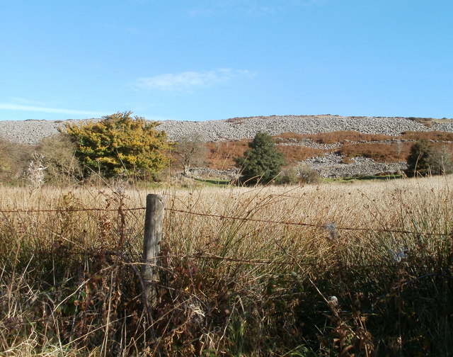
Image: © Jaggery Taken: 25 Oct 2010
Stunted trees and shaly ground viewed from the eastern end of Upper Coedcae Road.
Images are licensed for reuse under creativecommons.org/licenses/by-sa/2.0
Image Location
Latitude
51.772987
Longitude
-3.070993