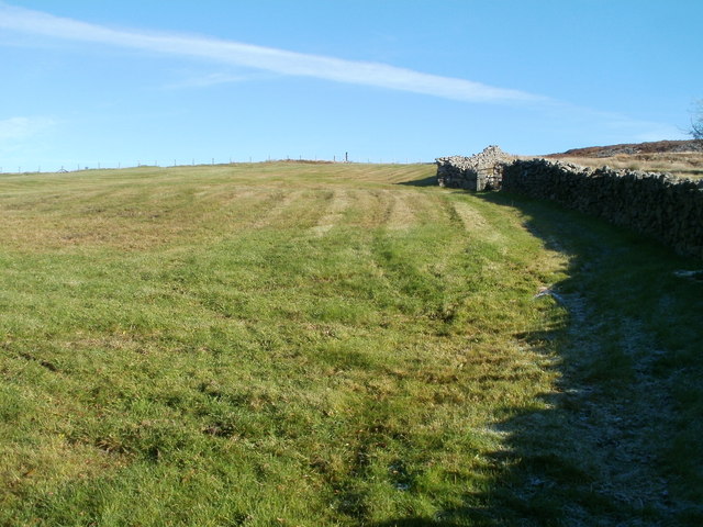
Moorland field, NE Blaenavon
Introduction
The photograph on this page of Moorland field, NE Blaenavon by Jaggery as part of the Geograph project.
The Geograph project started in 2005 with the aim of publishing, organising and preserving representative images for every square kilometre of Great Britain, Ireland and the Isle of Man.
There are currently over 7.5m images from over 14,400 individuals and you can help contribute to the project by visiting https://www.geograph.org.uk

Image: © Jaggery Taken: 25 Oct 2010
Viewed from the public side of a padlocked gate topped with barbed wire. http://www.geograph.org.uk/photo/2134462 Despite bright sunshine, a pocket of hoar frost remains in the lower right corner, in the shade of a stone wall, at 11.30 on a late October morning. The land nearest the camera is about 1250 feet (380 metres) above sea level.

