Lowdham
Introduction
The photograph on this page of Lowdham by Stephen McKay as part of the Geograph project.
The Geograph project started in 2005 with the aim of publishing, organising and preserving representative images for every square kilometre of Great Britain, Ireland and the Isle of Man.

There are currently over 7.5m images from over 14,400 individuals and you can help contribute to the project by visiting https://www.geograph.org.uk
Lowdham
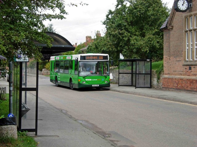
Image: © Stephen McKay Taken: 2 Aug 2006
A local bus heads south along Main Street on a journey to Southwell. The building with the clock is the Old School House.
Images are licensed for reuse under creativecommons.org/licenses/by-sa/2.0
Image Location


Leaflet Map data © OpenStreetMap
Latitude
53.013447
Longitude
-1.005781