Bridleway near Thirns
Introduction
The photograph on this page of Bridleway near Thirns by Philip Barker as part of the Geograph project.
The Geograph project started in 2005 with the aim of publishing, organising and preserving representative images for every square kilometre of Great Britain, Ireland and the Isle of Man.

There are currently over 7.5m images from over 14,400 individuals and you can help contribute to the project by visiting https://www.geograph.org.uk
Bridleway near Thirns
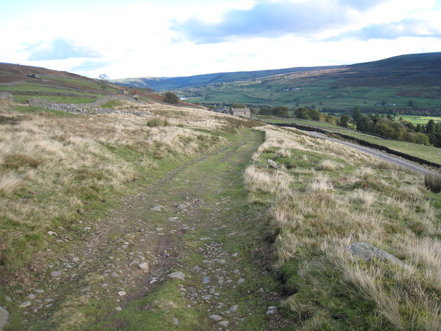
Image: © Philip Barker Taken: 24 Oct 2010
This photograph shows a view of a section of the public bridleway that runs between Fore Gill gate (behind the photographer) and Thirns (ahead). The picture was taken looking in a east-south-easterly direction towards Healaugh.
Images are licensed for reuse under creativecommons.org/licenses/by-sa/2.0
Image Location
Latitude
54.392059
Longitude
-1.987184