2010 : Westend Lane, the Trudoxhill bypass
Introduction
The photograph on this page of 2010 : Westend Lane, the Trudoxhill bypass by Maurice Pullin as part of the Geograph project.
The Geograph project started in 2005 with the aim of publishing, organising and preserving representative images for every square kilometre of Great Britain, Ireland and the Isle of Man.

There are currently over 7.5m images from over 14,400 individuals and you can help contribute to the project by visiting https://www.geograph.org.uk
2010 : Westend Lane, the Trudoxhill bypass
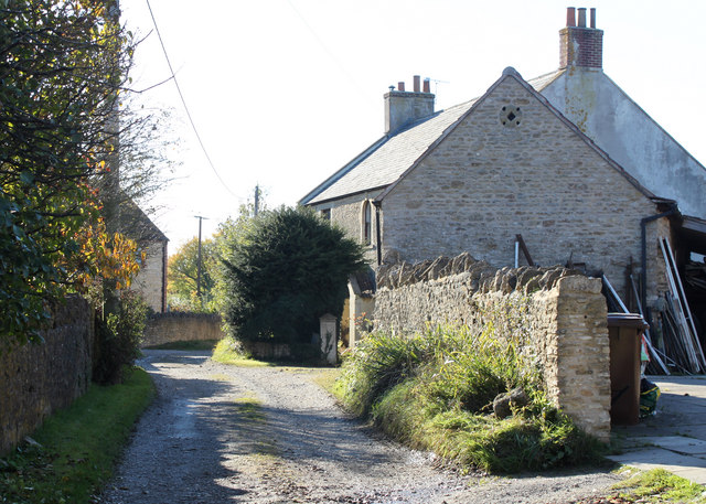
Image: © Maurice Pullin Taken: 25 Oct 2010
According to OS Explorer 142 this is a "Byway open to all traffic." Wouldn't fancy it in my little C1 let alone a 40 ton artic with trailer. Westend Farm is at this end of the lane, Cricket Farm at the other.
Images are licensed for reuse under creativecommons.org/licenses/by-sa/2.0
Image Location
Latitude
51.194917
Longitude
-2.365735