Bourton: a neat line of bales
Introduction
The photograph on this page of Bourton: a neat line of bales by Chris Downer as part of the Geograph project.
The Geograph project started in 2005 with the aim of publishing, organising and preserving representative images for every square kilometre of Great Britain, Ireland and the Isle of Man.

There are currently over 7.5m images from over 14,400 individuals and you can help contribute to the project by visiting https://www.geograph.org.uk
Bourton: a neat line of bales
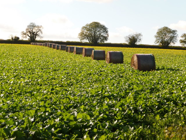
Image: © Chris Downer Taken: 24 Oct 2010
Looking across a field on the gentle slope of Tinkers Hill on the very extremity of the county of Dorset. Beyond the hedge in the background, it is Somerset.
Images are licensed for reuse under creativecommons.org/licenses/by-sa/2.0
Image Location
Latitude
51.058575
Longitude
-2.343256