Gillingham: signpost at Slaughtergate
Introduction
The photograph on this page of Gillingham: signpost at Slaughtergate by Chris Downer as part of the Geograph project.
The Geograph project started in 2005 with the aim of publishing, organising and preserving representative images for every square kilometre of Great Britain, Ireland and the Isle of Man.

There are currently over 7.5m images from over 14,400 individuals and you can help contribute to the project by visiting https://www.geograph.org.uk
Gillingham: signpost at Slaughtergate
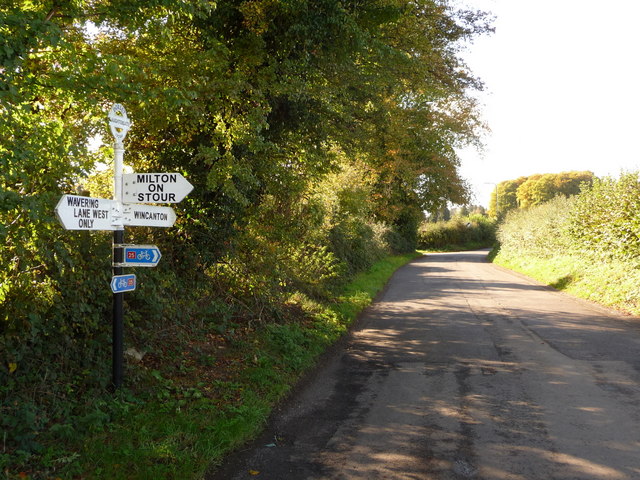
Image: © Chris Downer Taken: 24 Oct 2010
This finger-post has fairly modern replacement fingers - with adhesive rather than the old fashioned screwed in lettering - but retains the original finial, giving location and six-figure grid reference. The finger pointing towards us has amended wording from the original, now that Wavering Lane has been closed to through traffic with the two segments suffixed West and East. For a close-up of the finial, see Image
Images are licensed for reuse under creativecommons.org/licenses/by-sa/2.0
Image Location
Latitude
51.040984
Longitude
-2.298196