Pedestrian crossings beneath the M27
Introduction
The photograph on this page of Pedestrian crossings beneath the M27 by Margaret Sutton as part of the Geograph project.
The Geograph project started in 2005 with the aim of publishing, organising and preserving representative images for every square kilometre of Great Britain, Ireland and the Isle of Man.

There are currently over 7.5m images from over 14,400 individuals and you can help contribute to the project by visiting https://www.geograph.org.uk
Pedestrian crossings beneath the M27
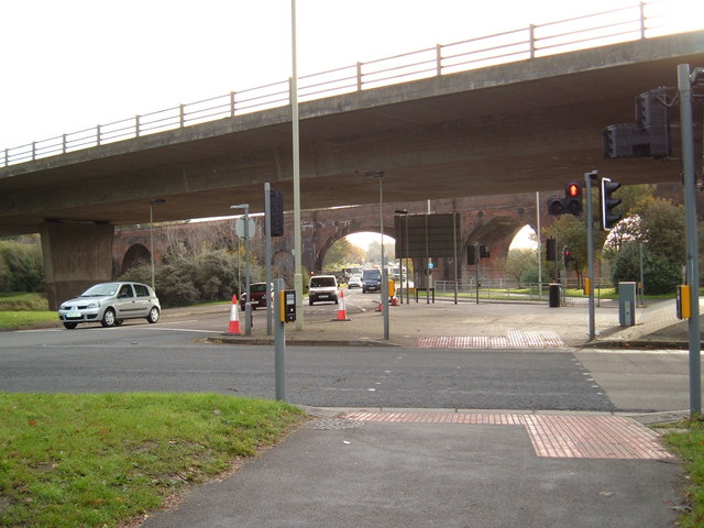
Image: © Margaret Sutton Taken: 28 Oct 2010
The arches of the railway viaduct visible further back
Images are licensed for reuse under creativecommons.org/licenses/by-sa/2.0
Image Location
Latitude
50.853252
Longitude
-1.168323