Baillieston, The Avenue, Calderbank
Introduction
The photograph on this page of Baillieston, The Avenue, Calderbank by Robert Murray as part of the Geograph project.
The Geograph project started in 2005 with the aim of publishing, organising and preserving representative images for every square kilometre of Great Britain, Ireland and the Isle of Man.

There are currently over 7.5m images from over 14,400 individuals and you can help contribute to the project by visiting https://www.geograph.org.uk
Baillieston, The Avenue, Calderbank
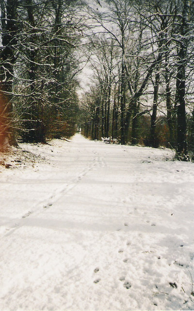
Image: © Robert Murray Taken: 27 Jan 2003
This photo is historical because one side (R.H.) of the avenue has had its trees cut down and destroyed to make room for houses in a housing project.
Images are licensed for reuse under creativecommons.org/licenses/by-sa/2.0
Image Location
Latitude
55.843081
Longitude
-4.109948