River bridge near Castlerock
Introduction
The photograph on this page of River bridge near Castlerock by Albert Bridge as part of the Geograph project.
The Geograph project started in 2005 with the aim of publishing, organising and preserving representative images for every square kilometre of Great Britain, Ireland and the Isle of Man.

There are currently over 7.5m images from over 14,400 individuals and you can help contribute to the project by visiting https://www.geograph.org.uk
River bridge near Castlerock
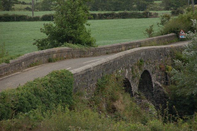
Image: © Albert Bridge Taken: 2 Aug 2006
There are several unclassified roads between the Coleraine-Castlerock road and the western side of the River Bann. There are also some streams running towards the Bann. The Ardina Bridge carries the Ballywoolen Road over the Articlave River. The river is flowing from right to left.
Images are licensed for reuse under creativecommons.org/licenses/by-sa/2.0
Image Location


Leaflet Map data © OpenStreetMap
Latitude
55.151455
Longitude
-6.769447