Road Closed
Introduction
The photograph on this page of Road Closed by John Lucas as part of the Geograph project.
The Geograph project started in 2005 with the aim of publishing, organising and preserving representative images for every square kilometre of Great Britain, Ireland and the Isle of Man.

There are currently over 7.5m images from over 14,400 individuals and you can help contribute to the project by visiting https://www.geograph.org.uk
Road Closed
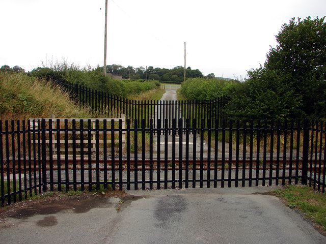
Image: © John Lucas Taken: 2 Aug 2006
There was a level crossing at this point until recently. After several serious accidents on Cambrian Railway level crossings, they are being removed wherever possible. In this case, the lane that allows access to two farms has been re-routed via a nearby under-bridge and a new river bridge.
Images are licensed for reuse under creativecommons.org/licenses/by-sa/2.0
Image Location
Latitude
52.613794
Longitude
-3.631392