Footpath junction in West Stourmouth
Introduction
The photograph on this page of Footpath junction in West Stourmouth by David Anstiss as part of the Geograph project.
The Geograph project started in 2005 with the aim of publishing, organising and preserving representative images for every square kilometre of Great Britain, Ireland and the Isle of Man.

There are currently over 7.5m images from over 14,400 individuals and you can help contribute to the project by visiting https://www.geograph.org.uk
Footpath junction in West Stourmouth
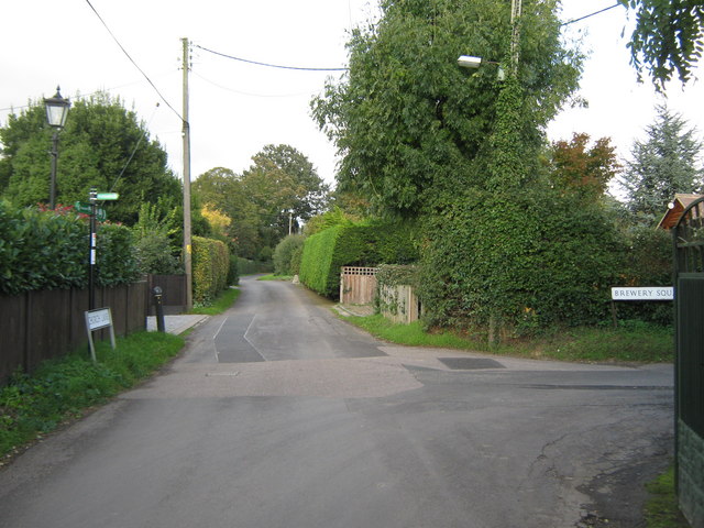
Image: © David Anstiss Taken: 24 Oct 2010
The Stour Valley Walk (long distance path) leads along Church Lane from the church and North Court Farm heading towards Russel Farm. Another footpath follows Brewery Square and then field edges towards East Stourmouth.
Images are licensed for reuse under creativecommons.org/licenses/by-sa/2.0
Image Location
Latitude
51.31896
Longitude
1.234773