Footpath to Springfield Cottage
Introduction
The photograph on this page of Footpath to Springfield Cottage by David Anstiss as part of the Geograph project.
The Geograph project started in 2005 with the aim of publishing, organising and preserving representative images for every square kilometre of Great Britain, Ireland and the Isle of Man.

There are currently over 7.5m images from over 14,400 individuals and you can help contribute to the project by visiting https://www.geograph.org.uk
Footpath to Springfield Cottage
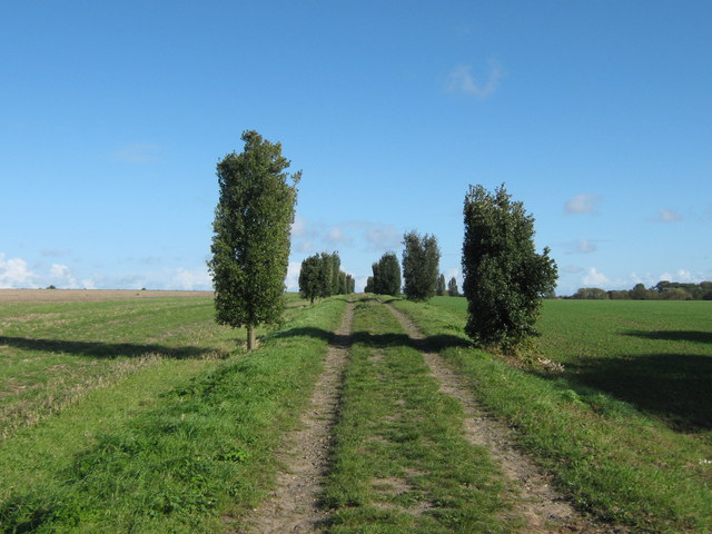
Image: © David Anstiss Taken: 24 Oct 2010
This tree lined path leads from Sherriffs Court towards the cottage (below Monkton Road). Officially, according to the map, the path leads through the field on the right. But most people use the track.
Images are licensed for reuse under creativecommons.org/licenses/by-sa/2.0
Image Location
Latitude
51.333304
Longitude
1.294512