Rotherhithe Free Church
Introduction
The photograph on this page of Rotherhithe Free Church by Martin Addison as part of the Geograph project.
The Geograph project started in 2005 with the aim of publishing, organising and preserving representative images for every square kilometre of Great Britain, Ireland and the Isle of Man.

There are currently over 7.5m images from over 14,400 individuals and you can help contribute to the project by visiting https://www.geograph.org.uk
Rotherhithe Free Church
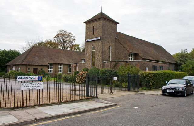
Image: © Martin Addison Taken: 22 Oct 2010
An Evangelical church located on Lower Road at the junction with Culling Road. Interestingly, there is a funeral directors at the end of Culling Road - I do hope they aren't creating business for themselves in the Hammer Horror tradition ;-)
Images are licensed for reuse under creativecommons.org/licenses/by-sa/2.0
Image Location
Latitude
51.497581
Longitude
-0.054996