John Ferneley College
Introduction
The photograph on this page of John Ferneley College by Andrew Tatlow as part of the Geograph project.
The Geograph project started in 2005 with the aim of publishing, organising and preserving representative images for every square kilometre of Great Britain, Ireland and the Isle of Man.

There are currently over 7.5m images from over 14,400 individuals and you can help contribute to the project by visiting https://www.geograph.org.uk
John Ferneley College
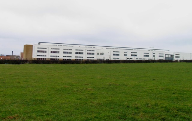
Image: © Andrew Tatlow Taken: 26 Feb 2010
John Ferneley High School was due to move into all new accommodation in April 2010. The Local Authority inspired sweeping changes to the education arrangements in the Melton Mowbray area including the change of 2 11-14 schools to 11-16 schools. The net result was that the existing 11-18 school lost most of its pupils and is due to close in 2011.
Images are licensed for reuse under creativecommons.org/licenses/by-sa/2.0
Image Location
Latitude
52.782268
Longitude
-0.888292