Footpath 475 nears Clifton's Lane
Introduction
The photograph on this page of Footpath 475 nears Clifton's Lane by Robin Webster as part of the Geograph project.
The Geograph project started in 2005 with the aim of publishing, organising and preserving representative images for every square kilometre of Great Britain, Ireland and the Isle of Man.

There are currently over 7.5m images from over 14,400 individuals and you can help contribute to the project by visiting https://www.geograph.org.uk
Footpath 475 nears Clifton's Lane
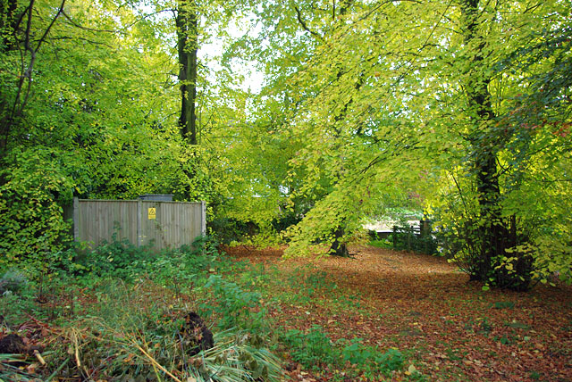
Image: © Robin Webster Taken: 27 Oct 2010
With a garden refuse heap and a small electricity sub-station at the left, the footpath follows the leafy way under the arched branches.
Images are licensed for reuse under creativecommons.org/licenses/by-sa/2.0
Image Location
Latitude
51.241875
Longitude
-0.227983