Towards Penslade
Introduction
The photograph on this page of Towards Penslade by Derek Harper as part of the Geograph project.
The Geograph project started in 2005 with the aim of publishing, organising and preserving representative images for every square kilometre of Great Britain, Ireland and the Isle of Man.

There are currently over 7.5m images from over 14,400 individuals and you can help contribute to the project by visiting https://www.geograph.org.uk
Towards Penslade
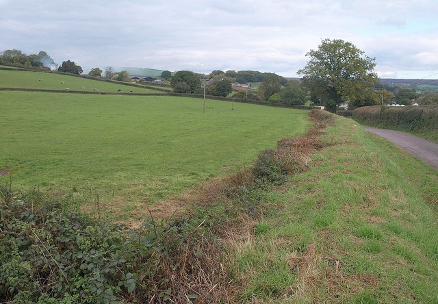
Image: © Derek Harper Taken: 22 Oct 2010
From roughly the same place as Image, looking across a field by the lane between Appledore and Penslade, which here carries the parish boundary between Burlesombe and Uffculme (right).
Images are licensed for reuse under creativecommons.org/licenses/by-sa/2.0
Image Location
Latitude
50.92338
Longitude
-3.320555