Festival Leisure Park and more
Introduction
The photograph on this page of Festival Leisure Park and more by terry joyce as part of the Geograph project.
The Geograph project started in 2005 with the aim of publishing, organising and preserving representative images for every square kilometre of Great Britain, Ireland and the Isle of Man.

There are currently over 7.5m images from over 14,400 individuals and you can help contribute to the project by visiting https://www.geograph.org.uk
Festival Leisure Park and more
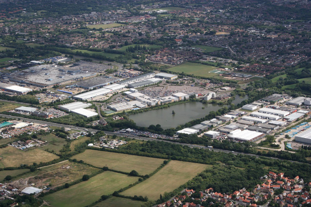
Image: © terry joyce Taken: 18 Aug 2010
Otherwise known as Bas Vegas is above the lake. The road running left to right is the A127. Summerhill Nursery is just below the A127 on the left. Some of Noak Bridge can be seen in the bottom right of the photo.
Images are licensed for reuse under creativecommons.org/licenses/by-sa/2.0
Image Location
Latitude
51.585357
Longitude
0.461791