Sewstern Drift, just west of Hill Top Farm
Introduction
The photograph on this page of Sewstern Drift, just west of Hill Top Farm by Stefan Czapski as part of the Geograph project.
The Geograph project started in 2005 with the aim of publishing, organising and preserving representative images for every square kilometre of Great Britain, Ireland and the Isle of Man.

There are currently over 7.5m images from over 14,400 individuals and you can help contribute to the project by visiting https://www.geograph.org.uk
Sewstern Drift, just west of Hill Top Farm
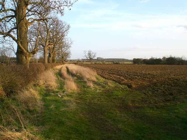
Image: © Stefan Czapski Taken: 14 Mar 2009
The field boundary on the left corresponds to the boundary between the counties of Lincolnshire (to the left) and Leicestershire. The track is part of Sewstern Lane, an ancient drove road.
Images are licensed for reuse under creativecommons.org/licenses/by-sa/2.0
Image Location
Latitude
52.863755
Longitude
-0.730684