Bantock Park at Bradmore, Wolverhampton
Introduction
The photograph on this page of Bantock Park at Bradmore, Wolverhampton by Roger D Kidd as part of the Geograph project.
The Geograph project started in 2005 with the aim of publishing, organising and preserving representative images for every square kilometre of Great Britain, Ireland and the Isle of Man.

There are currently over 7.5m images from over 14,400 individuals and you can help contribute to the project by visiting https://www.geograph.org.uk
Bantock Park at Bradmore, Wolverhampton
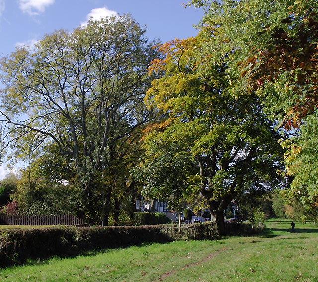
Image: © Roger D Kidd Taken: 20 Oct 2010
By Broad Lane, looking north-west. The park was originally a farm owned by the Bantock family. The house and land, comprising 16 hectares, were bequeathed to the corporation of Wolverhampton (for use as a public park) on the death of the Alderman Albert Baldwin Bantock in 1938.
Images are licensed for reuse under creativecommons.org/licenses/by-sa/2.0
Image Location
Latitude
52.577632
Longitude
-2.156984