Cycle Route CS3 under the DLR bridge at Ming Street
Introduction
The photograph on this page of Cycle Route CS3 under the DLR bridge at Ming Street by Rod Allday as part of the Geograph project.
The Geograph project started in 2005 with the aim of publishing, organising and preserving representative images for every square kilometre of Great Britain, Ireland and the Isle of Man.

There are currently over 7.5m images from over 14,400 individuals and you can help contribute to the project by visiting https://www.geograph.org.uk
Cycle Route CS3 under the DLR bridge at Ming Street
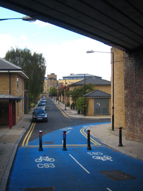
Image: © Rod Allday Taken: 16 Oct 2010
Route CS3 runs between Barking and Tower Gateway http://www.nctn.org.uk/wp-content/uploads/C3_Barking-TowerGateway_route.pdf.
Images are licensed for reuse under creativecommons.org/licenses/by-sa/2.0
Image Location


Leaflet Map data © OpenStreetMap
Latitude
51.508678
Longitude
-0.024837