The southern end of the village of Dundrum
Introduction
The photograph on this page of The southern end of the village of Dundrum by Eric Jones as part of the Geograph project.
The Geograph project started in 2005 with the aim of publishing, organising and preserving representative images for every square kilometre of Great Britain, Ireland and the Isle of Man.

There are currently over 7.5m images from over 14,400 individuals and you can help contribute to the project by visiting https://www.geograph.org.uk
The southern end of the village of Dundrum
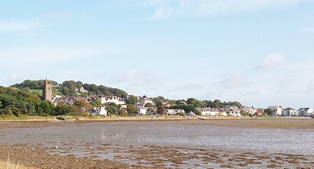
Image: © Eric Jones Taken: 12 Sep 2010
Dundrum is an elegant village.The tower of St Donard's CoI church dominates the southern approach to the village. To the right of it, on the wooded hill, is Dundrum Castle.
Images are licensed for reuse under creativecommons.org/licenses/by-sa/2.0
Image Location
Latitude
54.256057
Longitude
-5.847765