Marsh Wall E14
Introduction
The photograph on this page of Marsh Wall E14 by Rod Allday as part of the Geograph project.
The Geograph project started in 2005 with the aim of publishing, organising and preserving representative images for every square kilometre of Great Britain, Ireland and the Isle of Man.

There are currently over 7.5m images from over 14,400 individuals and you can help contribute to the project by visiting https://www.geograph.org.uk
Marsh Wall E14
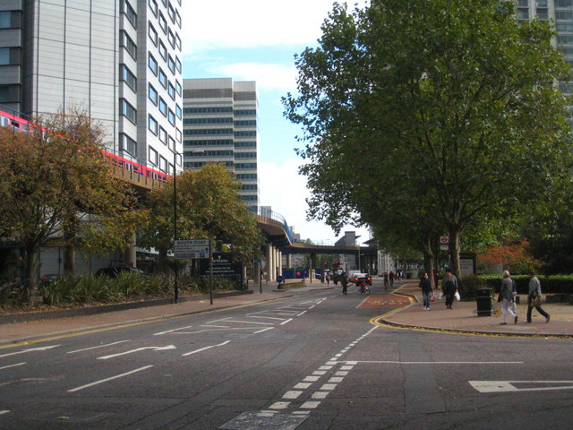
Image: © Rod Allday Taken: 16 Oct 2010
A road through Docklands across the centre of the Isle of Dogs, linking Westferry Circus to Preston's Road on the east side.
Images are licensed for reuse under creativecommons.org/licenses/by-sa/2.0
Image Location
Latitude
51.50079
Longitude
-0.021