Haltham, Cowpasture Farm outbuilding
Introduction
The photograph on this page of Haltham, Cowpasture Farm outbuilding by Brian Westlake as part of the Geograph project.
The Geograph project started in 2005 with the aim of publishing, organising and preserving representative images for every square kilometre of Great Britain, Ireland and the Isle of Man.

There are currently over 7.5m images from over 14,400 individuals and you can help contribute to the project by visiting https://www.geograph.org.uk
Haltham, Cowpasture Farm outbuilding
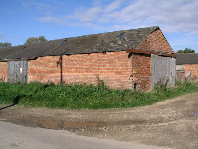
Image: © Brian Westlake Taken: 21 Oct 2010
Farm building adjacent to Wood Enderby Lane, carrying a cut bench mark on the left side of the angle facing the camera. See http://www.geograph.org.uk/photo/2129627 for a close-up.
Images are licensed for reuse under creativecommons.org/licenses/by-sa/2.0
Image Location
Latitude
53.158298
Longitude
-0.12135