Balgrayhill flats
Introduction
The photograph on this page of Balgrayhill flats by Lairich Rig as part of the Geograph project.
The Geograph project started in 2005 with the aim of publishing, organising and preserving representative images for every square kilometre of Great Britain, Ireland and the Isle of Man.

There are currently over 7.5m images from over 14,400 individuals and you can help contribute to the project by visiting https://www.geograph.org.uk
Balgrayhill flats
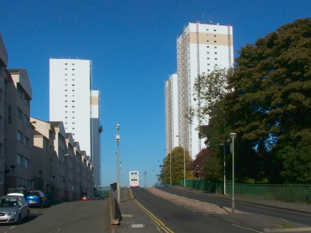
Image: © Lairich Rig Taken: 11 Oct 2010
The tower blocks were completed in 1967. The two on the left are in Viewpoint Place, while the two on the right are on Balgrayhill Road. See Image for a view from a different angle.
Images are licensed for reuse under creativecommons.org/licenses/by-sa/2.0
Image Location
Latitude
55.891113
Longitude
-4.229941