Scotland
Introduction
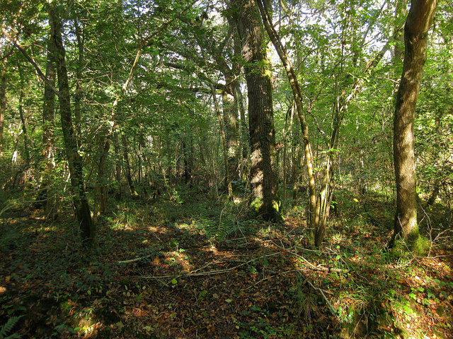
The photograph on this page of Scotland by Simon Carey as part of the Geograph project.
The Geograph project started in 2005 with the aim of publishing, organising and preserving representative images for every square kilometre of Great Britain, Ireland and the Isle of Man.
There are currently over 7.5m images from over 14,400 individuals and you can help contribute to the project by visiting https://www.geograph.org.uk

Image: © Simon Carey Taken: 24 Oct 2010
The current name of the wood that lies to the south of Old Scotland Lane. The name most likely has nothing to do with the country but probably was due to a former owner having to pay a scot, a customary payment, for the use of the land. Yeakell & Gardner's map of 1778-83 has this as open fields which was partially the case at the 1838 tithe survey when the two fields which make up the current wood were called Middle Field Scotland and Upper Field Scotland and described as rough ground and young plantation respectively. By the 1870s both former fields were fully wooded.

