2010 : The White Hart Inn, Trudoxhill
Introduction
The photograph on this page of 2010 : The White Hart Inn, Trudoxhill by Maurice Pullin as part of the Geograph project.
The Geograph project started in 2005 with the aim of publishing, organising and preserving representative images for every square kilometre of Great Britain, Ireland and the Isle of Man.

There are currently over 7.5m images from over 14,400 individuals and you can help contribute to the project by visiting https://www.geograph.org.uk
2010 : The White Hart Inn, Trudoxhill
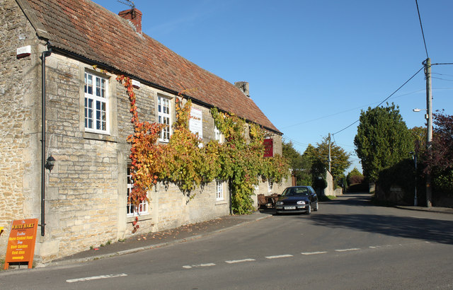
Image: © Maurice Pullin Taken: 25 Oct 2010
Dates from 1688. The White Hart was the emblem of Richard II. Could find no fruit on the vine, but it looks like a Muller Thurgau.
Images are licensed for reuse under creativecommons.org/licenses/by-sa/2.0
Image Location
Latitude
51.192773
Longitude
-2.361139