Bantock Park at Bradmore, Wolverhampton
Introduction
The photograph on this page of Bantock Park at Bradmore, Wolverhampton by Roger D Kidd as part of the Geograph project.
The Geograph project started in 2005 with the aim of publishing, organising and preserving representative images for every square kilometre of Great Britain, Ireland and the Isle of Man.

There are currently over 7.5m images from over 14,400 individuals and you can help contribute to the project by visiting https://www.geograph.org.uk
Bantock Park at Bradmore, Wolverhampton
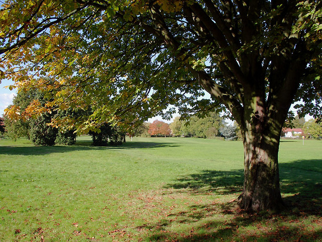
Image: © Roger D Kidd Taken: 20 Oct 2010
Bantock Park occupies the triangle formed by Broad Lane, Finchfield Road and Bradmore Road. Bantock House Museum is towards the eastern corner of the park. The city council's website informs us that the park is approximately 16 hectares (39.53 acres) in area. The west of the park is mostly open space, which still retains its 'rural' character, with gently undulating ground, hedgerows and a variety of trees with a nature trail. The eastern side of the park changes near Bantock House, becoming more formal. This area consists of a series of recently restored gardens, reminiscent of the detail emerging around the late nineteenth/twentieth century.
Images are licensed for reuse under creativecommons.org/licenses/by-sa/2.0
Image Location
Latitude
52.578707
Longitude
-2.159363