A200, Jamaica Road
Introduction
The photograph on this page of A200, Jamaica Road by Martin Addison as part of the Geograph project.
The Geograph project started in 2005 with the aim of publishing, organising and preserving representative images for every square kilometre of Great Britain, Ireland and the Isle of Man.

There are currently over 7.5m images from over 14,400 individuals and you can help contribute to the project by visiting https://www.geograph.org.uk
A200, Jamaica Road
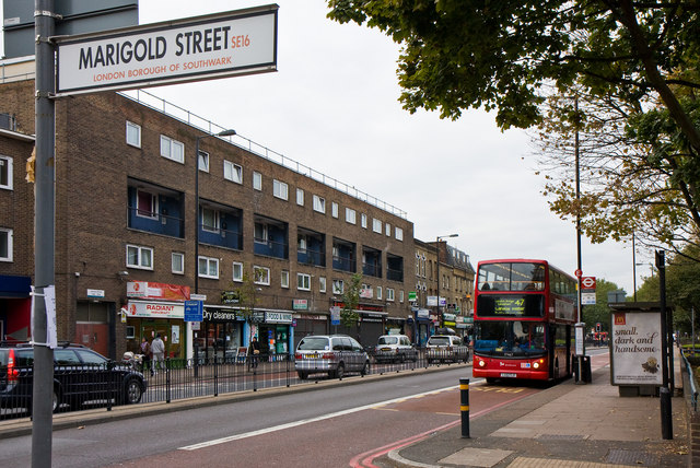
Image: © Martin Addison Taken: 22 Oct 2010
A view of this busy dual carriageway from the junction with Marigold Street close to the, somewhat indistinct, boundary between Bermondsey and Rotherhithe. A Canada Water bound 47 bus, an Alexander bodied Dennis Trident, pauses to collect passengers at the Drummond Road stop. Opposite is a parade of shops with flats above constructed after World War II - much of the area having suffered bombing during the London Blitz.
Images are licensed for reuse under creativecommons.org/licenses/by-sa/2.0
Image Location
Latitude
51.498691
Longitude
-0.062296