Steep field beside Northdown Road
Introduction
The photograph on this page of Steep field beside Northdown Road by Derek Harper as part of the Geograph project.
The Geograph project started in 2005 with the aim of publishing, organising and preserving representative images for every square kilometre of Great Britain, Ireland and the Isle of Man.

There are currently over 7.5m images from over 14,400 individuals and you can help contribute to the project by visiting https://www.geograph.org.uk
Steep field beside Northdown Road
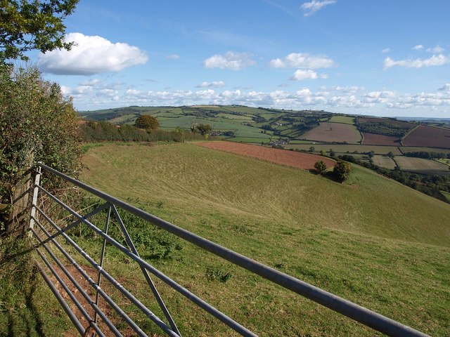
Image: © Derek Harper Taken: 20 Oct 2010
The view over the gate on the right of Image, showing the steep combe dropping down to the Exe valley. The far side of the combe, and the angle in the field boundary with the two trees, is in Image
Images are licensed for reuse under creativecommons.org/licenses/by-sa/2.0
Image Location
Latitude
50.825601
Longitude
-3.521968