Platt Fields Park
Introduction
The photograph on this page of Platt Fields Park by Gerald England as part of the Geograph project.
The Geograph project started in 2005 with the aim of publishing, organising and preserving representative images for every square kilometre of Great Britain, Ireland and the Isle of Man.

There are currently over 7.5m images from over 14,400 individuals and you can help contribute to the project by visiting https://www.geograph.org.uk
Platt Fields Park
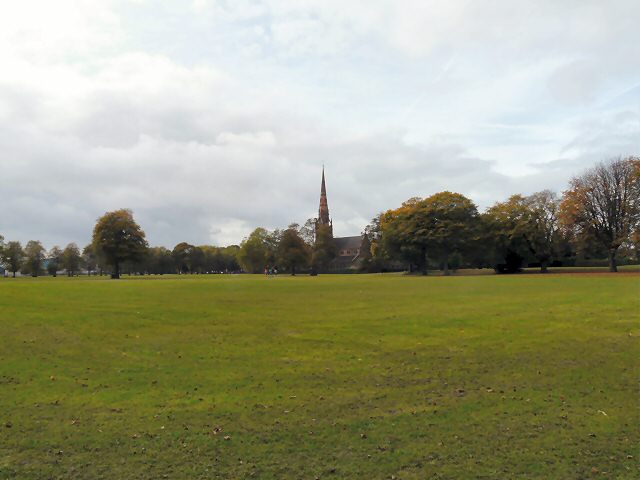
Image: © Gerald England Taken: 18 Oct 2010
The Platt Fields estate was purchased by Manchester Corporation for public use in 1907 following a local campaign. The park was landscaped and a lake created by unemployed labour during the hard winter of 1908-1909. In the background is Holy Trinity Church which was built in 1845-46, at the expense of Thomas Carrill Worsley of Platt Hall. http://rusholmearchive.org/holy-trinity-church-platt-lane
Images are licensed for reuse under creativecommons.org/licenses/by-sa/2.0
Image Location
Latitude
53.449928
Longitude
-2.225521