Gibson Road, Sutton, looking east
Introduction
The photograph on this page of Gibson Road, Sutton, looking east by Stephen Craven as part of the Geograph project.
The Geograph project started in 2005 with the aim of publishing, organising and preserving representative images for every square kilometre of Great Britain, Ireland and the Isle of Man.

There are currently over 7.5m images from over 14,400 individuals and you can help contribute to the project by visiting https://www.geograph.org.uk
Gibson Road, Sutton, looking east
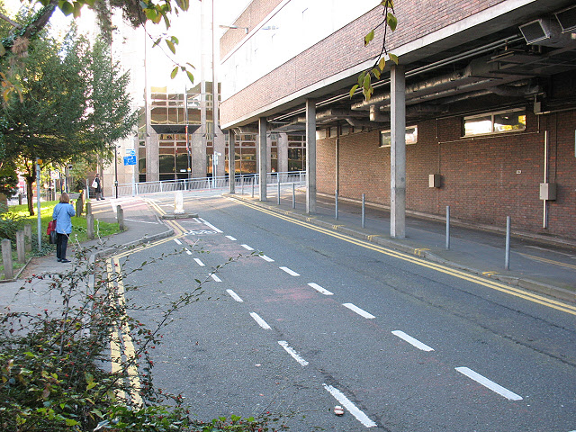
Image: © Stephen Craven Taken: 25 Oct 2010
The road is one-way westbound, with a contraflow cycle lane. The building on the right is the Sutton College of Learning for Adults. To the left is the churchyard of St Nicholas. The name of the road relates to a historic local family: see Image
Images are licensed for reuse under creativecommons.org/licenses/by-sa/2.0
Image Location
Latitude
51.362318
Longitude
-0.19461