Eastern approach to Rhoslefain
Introduction
The photograph on this page of Eastern approach to Rhoslefain by Nigel Brown as part of the Geograph project.
The Geograph project started in 2005 with the aim of publishing, organising and preserving representative images for every square kilometre of Great Britain, Ireland and the Isle of Man.

There are currently over 7.5m images from over 14,400 individuals and you can help contribute to the project by visiting https://www.geograph.org.uk
Eastern approach to Rhoslefain
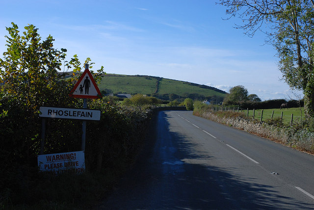
Image: © Nigel Brown Taken: 25 Oct 2010
The A493 is fairly enclosed by stone walls here, which makes little room for pedestrians.
Images are licensed for reuse under creativecommons.org/licenses/by-sa/2.0
Image Location
Latitude
52.630261
Longitude
-4.098648