Upper Kings Road, Berkhamsted
Introduction
The photograph on this page of Upper Kings Road, Berkhamsted by John Baker as part of the Geograph project.
The Geograph project started in 2005 with the aim of publishing, organising and preserving representative images for every square kilometre of Great Britain, Ireland and the Isle of Man.

There are currently over 7.5m images from over 14,400 individuals and you can help contribute to the project by visiting https://www.geograph.org.uk
Upper Kings Road, Berkhamsted
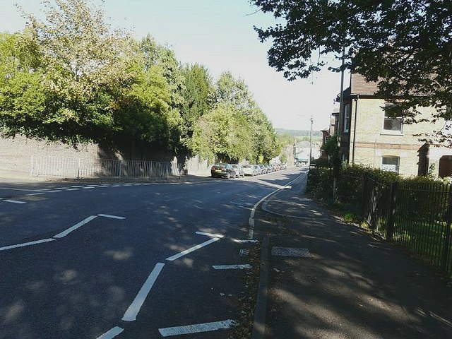
Image: © John Baker Taken: 10 Oct 2010
Not taken from quite the same angle as my view of 1966 see http://www.geograph.org.uk/photo/1757902 but the difference is the lack of parked cars in the earlier view. Kings Road was formerly called Bridewell Lane (and before that as Cocks Lane) named after a prison (or bridewell) that stood on the easterly corner the present Upper Kings Road at its junction with the High Street.
Images are licensed for reuse under creativecommons.org/licenses/by-sa/2.0
Image Location
Latitude
51.75969
Longitude
-0.566556