
Lock Cottage
Introduction
The photograph on this page of Lock Cottage by Simon Carey as part of the Geograph project.
The Geograph project started in 2005 with the aim of publishing, organising and preserving representative images for every square kilometre of Great Britain, Ireland and the Isle of Man.

There are currently over 7.5m images from over 14,400 individuals and you can help contribute to the project by visiting https://www.geograph.org.uk
Lock Cottage
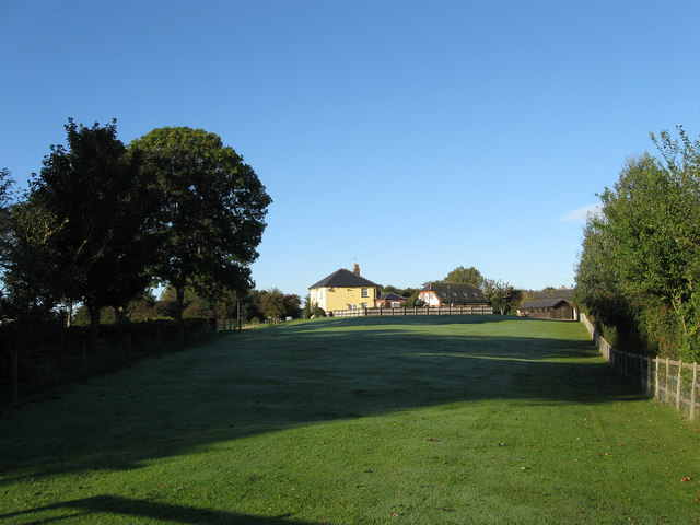
Image: © Simon Carey Taken: 24 Oct 2010
Built in 1818 originally as a pair but now converted into one house. The strip of ground between myself and the cottage should by an archeologists delight containing the line of the old Arundel-Chichester canal as well as the site of the original deserted village of Ford. The canal ran diagonally through this small field with the cottage, which housed the workers who manned one of two locks in the vicinity, lying to the north of the waterway. The wall on the left belongs to Ford church.
Images are licensed for reuse under creativecommons.org/licenses/by-sa/2.0
Image Location

Latitude
50.824188
Longitude
-0.579349