Melbury Abbas: Melbury Hill from Zig-Zag Hill
Introduction
The photograph on this page of Melbury Abbas: Melbury Hill from Zig-Zag Hill by Chris Downer as part of the Geograph project.
The Geograph project started in 2005 with the aim of publishing, organising and preserving representative images for every square kilometre of Great Britain, Ireland and the Isle of Man.

There are currently over 7.5m images from over 14,400 individuals and you can help contribute to the project by visiting https://www.geograph.org.uk
Melbury Abbas: Melbury Hill from Zig-Zag Hill
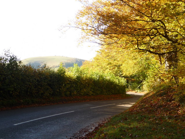
Image: © Chris Downer Taken: 24 Oct 2010
Looking along the B3081 at one of the Zig-Zag Hill corners, with the top of Melbury Hill in the distance to the left.
Images are licensed for reuse under creativecommons.org/licenses/by-sa/2.0
Image Location
Latitude
50.98551
Longitude
-2.155377