Stowford Paper Mill
Introduction
The photograph on this page of Stowford Paper Mill by Derek Harper as part of the Geograph project.
The Geograph project started in 2005 with the aim of publishing, organising and preserving representative images for every square kilometre of Great Britain, Ireland and the Isle of Man.

There are currently over 7.5m images from over 14,400 individuals and you can help contribute to the project by visiting https://www.geograph.org.uk
Stowford Paper Mill
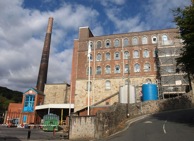
Image: © Derek Harper Taken: 17 Oct 2010
Another view of the mill shown in http://www.geograph.org.uk/gridref/SX6356?centi=SX636565 , with Harford Road climbing to the right. The chimney on the engine house, dating from 1914, is rather later than the main building (1862) http://www.britishlistedbuildings.co.uk/en-99194-stowford-paper-mills-ivybridge .
Images are licensed for reuse under creativecommons.org/licenses/by-sa/2.0
Image Location
Latitude
50.392706
Longitude
-3.919722