Westward on A836, dropping down to Armadale Burn
Introduction
The photograph on this page of Westward on A836, dropping down to Armadale Burn by Ben Brooksbank as part of the Geograph project.
The Geograph project started in 2005 with the aim of publishing, organising and preserving representative images for every square kilometre of Great Britain, Ireland and the Isle of Man.

There are currently over 7.5m images from over 14,400 individuals and you can help contribute to the project by visiting https://www.geograph.org.uk
Westward on A836, dropping down to Armadale Burn
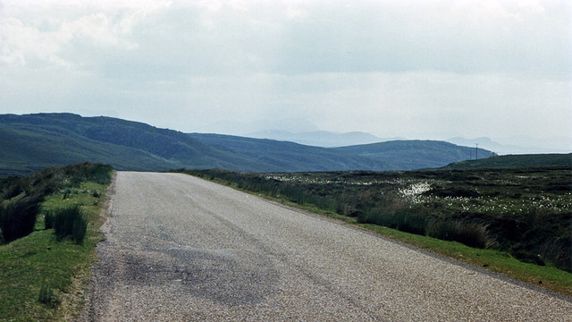
Image: © Ben Brooksbank Taken: 2 Jul 1986
View SW, to - in distance - Ben Stomino (1,728 ft.) and Ben Loyal (2,504 ft.).
Images are licensed for reuse under creativecommons.org/licenses/by-sa/2.0
Image Location
Latitude
58.547058
Longitude
-4.077966