Longmores Field
Introduction
The photograph on this page of Longmores Field by Simon Carey as part of the Geograph project.
The Geograph project started in 2005 with the aim of publishing, organising and preserving representative images for every square kilometre of Great Britain, Ireland and the Isle of Man.

There are currently over 7.5m images from over 14,400 individuals and you can help contribute to the project by visiting https://www.geograph.org.uk
Longmores Field
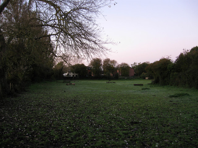
Image: © Simon Carey Taken: 24 Oct 2010
The name of the field according to the 1840 tithe map that lies between the river embankment and Ford Road. Originally part of Tortington parish but transferred to Arundel in 1905 and has survived the building development that has happened elsewhere east of the river and south of the A27. Taken seven minutes before sunrise with a touch of frost visible on the ground.
Images are licensed for reuse under creativecommons.org/licenses/by-sa/2.0
Image Location
Latitude
50.850599
Longitude
-0.562352