Top of Rigton Bank
Introduction
The photograph on this page of Top of Rigton Bank by michael ely as part of the Geograph project.
The Geograph project started in 2005 with the aim of publishing, organising and preserving representative images for every square kilometre of Great Britain, Ireland and the Isle of Man.

There are currently over 7.5m images from over 14,400 individuals and you can help contribute to the project by visiting https://www.geograph.org.uk
Top of Rigton Bank
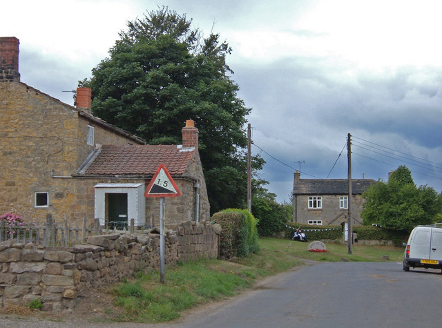
Image: © michael ely Taken: 1 Aug 2006
Rigton Bank is a steep hill that climbs through the village of East Rigton on the east side of the A58, Wetherby Road.
Images are licensed for reuse under creativecommons.org/licenses/by-sa/2.0
Image Location


Leaflet Map data © OpenStreetMap
Latitude
53.889947
Longitude
-1.43396