Mill Race Lonning
Introduction
The photograph on this page of Mill Race Lonning by Rose and Trev Clough as part of the Geograph project.
The Geograph project started in 2005 with the aim of publishing, organising and preserving representative images for every square kilometre of Great Britain, Ireland and the Isle of Man.

There are currently over 7.5m images from over 14,400 individuals and you can help contribute to the project by visiting https://www.geograph.org.uk
Mill Race Lonning
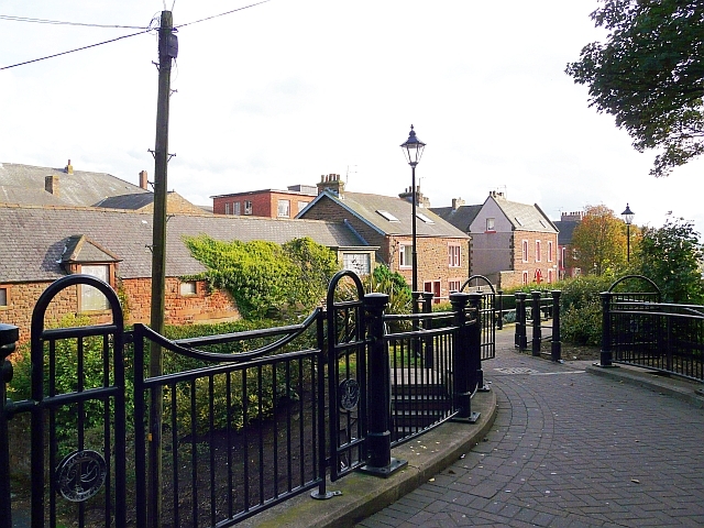
Image: © Rose and Trev Clough Taken: 30 Sep 2010
Footpath to Mill Street Car Park, which starts from a passage in Senhouse Street http://www.geograph.org.uk/photo/744201 . There is no sign of any water - the Mill Race was filled in during the late 19th century http://www.allerdale.gov.uk/downloads/Maryport_Conservation_Area_Appraisal.pdf . Houses at the centre of the picture are in Mill Street North.
Images are licensed for reuse under creativecommons.org/licenses/by-sa/2.0
Image Location
Latitude
54.713529
Longitude
-3.49695