Looking towards Dry Doddington from the Westborough Road
Introduction
The photograph on this page of Looking towards Dry Doddington from the Westborough Road by Jonathan Thacker as part of the Geograph project.
The Geograph project started in 2005 with the aim of publishing, organising and preserving representative images for every square kilometre of Great Britain, Ireland and the Isle of Man.

There are currently over 7.5m images from over 14,400 individuals and you can help contribute to the project by visiting https://www.geograph.org.uk
Looking towards Dry Doddington from the Westborough Road
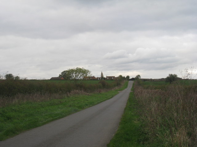
Image: © Jonathan Thacker Taken: 22 Oct 2010
The lean of the church tower is quite visible from this distance and angle.
Images are licensed for reuse under creativecommons.org/licenses/by-sa/2.0
Image Location
Latitude
53.008524
Longitude
-0.733744