Southbound A465, Abergavenny
Introduction
The photograph on this page of Southbound A465, Abergavenny by Jaggery as part of the Geograph project.
The Geograph project started in 2005 with the aim of publishing, organising and preserving representative images for every square kilometre of Great Britain, Ireland and the Isle of Man.

There are currently over 7.5m images from over 14,400 individuals and you can help contribute to the project by visiting https://www.geograph.org.uk
Southbound A465, Abergavenny
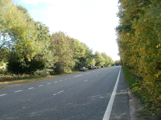
Image: © Jaggery Taken: 20 Oct 2010
The A465 here runs parallel with the railway lines south of Abergavenny Station, which is about 40 metres away, on the other side of the hedge on the right.
Images are licensed for reuse under creativecommons.org/licenses/by-sa/2.0
Image Location
Latitude
51.815789
Longitude
-3.009627