Barn in Long Bennington
Introduction
The photograph on this page of Barn in Long Bennington by Jonathan Thacker as part of the Geograph project.
The Geograph project started in 2005 with the aim of publishing, organising and preserving representative images for every square kilometre of Great Britain, Ireland and the Isle of Man.

There are currently over 7.5m images from over 14,400 individuals and you can help contribute to the project by visiting https://www.geograph.org.uk
Barn in Long Bennington
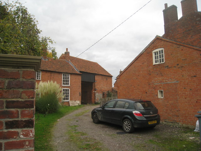
Image: © Jonathan Thacker Taken: 22 Oct 2010
Many buildings in Long Bennington exhibit lias stone walling as here in the lower parts of this barn. This stone is poor by comparison with the limestones of only a few miles away. Other examples of its use can be found in several villages around Newark on Trent including Collingham, Langford, Dry Doddington and Westborough.
Images are licensed for reuse under creativecommons.org/licenses/by-sa/2.0
Image Location
Latitude
52.996103
Longitude
-0.757799