High Auchensail
Introduction
The photograph on this page of High Auchensail by Lairich Rig as part of the Geograph project.
The Geograph project started in 2005 with the aim of publishing, organising and preserving representative images for every square kilometre of Great Britain, Ireland and the Isle of Man.

There are currently over 7.5m images from over 14,400 individuals and you can help contribute to the project by visiting https://www.geograph.org.uk
High Auchensail
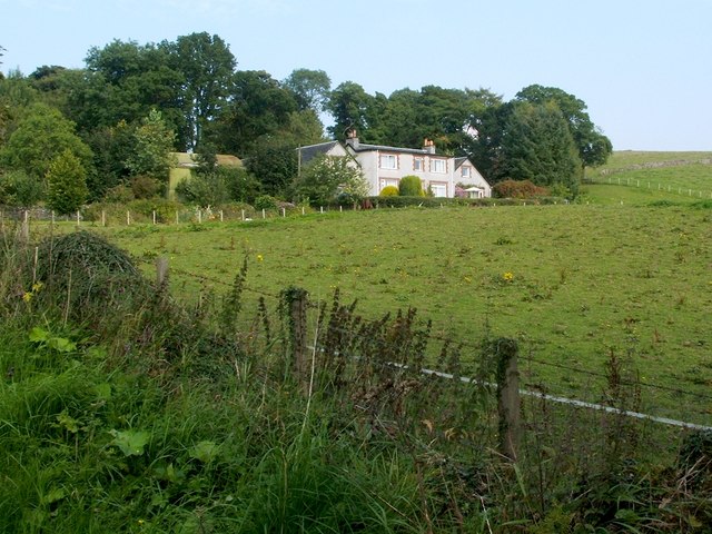
Image: © Lairich Rig Taken: 3 Sep 2010
For another view, see Image For historical details, see Image The present photograph was taken from Image; see that link for further context.
Images are licensed for reuse under creativecommons.org/licenses/by-sa/2.0
Image Location
Latitude
55.98025
Longitude
-4.656839